The south of Madagascar-the land of the thorn people
The Madagascar south represents a remarkable physical and human entity.
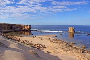
To the flattened base of the continental Mahafaly and Androy leaned, but it has suffered many fractures and the effects of recent Tertiary volcanism.
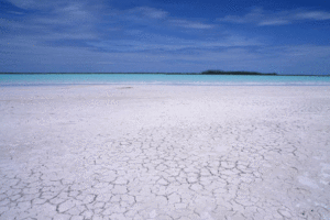
With few exceptions, the coast is sandy and often characterized by reefs and lagoons. But it is the semi-arid climate that makes the difference: This region of plateaus and plains belongs to the Sahelian zones. The area is located in the so-called dry tropics, which generate a dry savannah or desert-like vegetation and climate around the Tropics of Capricorn and Cancer.
On the long Drying time, which lasts more than nine months on the coasts, is followed by a short Rainy season, which is sometimes random (a terrible drought occurs every seven years), often very irregular, and always low in precipitation (less than 600 mm/year).
Except for a few perennial rivers (Onilahy, Mandrare), most rivers have a terminal wadi life (Fiherenana, Linta, Menarandra).
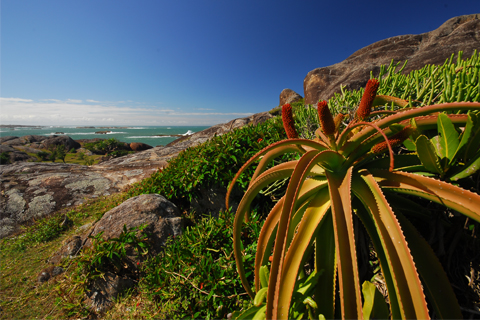
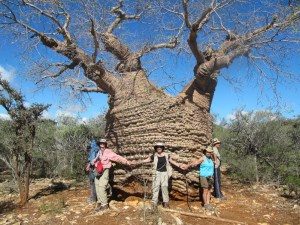
The result is the existence of a Dry forest, which is often included in the Savannah returned, and where it rains least, a thorny thicket or scrub rich in numerous endemic species -. Euphorbias, didieréacées, parchypodia...
The countries of Mahafaly and Antandroy
Apart from the Vezo fishermen and a few migrants such as the Antanosy of Middle Onilahy, two major ethnic groups share these areas: the Mahafaly and the Antandroy.
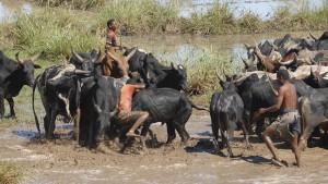
The religious value of the animal is present everywhere, and the herds, which already have a use value, make up the wealth of the clans and lineages. The numerical importance of the herd of each lineage still determines the hierarchies, since in the past it caused endless wars between several kingdoms of the deep south.
Famous kings have marked the history of this region, like those of Antandroy Andriamanana and Rafaly (17th and first half of the 18th century) or those of Mahafaly Herontany and Tsiampondy (end of the 19th century). In particular, one will remember the failure of the conquest by the Merina troops at the beginning of the 19th century and the difficulties of the colonizers to conquer the region at the beginning of the 20th century.
An underprivileged region
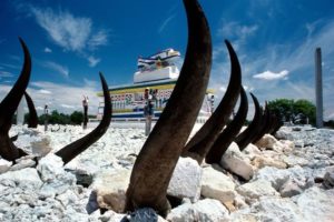
The Deep South is poor, but it tries hard not to show it. Thus, huge decorated tombs show the wealth of the dead on the roadsides.
The futile efforts of some ambitious settlers or the precariousness of the few recent hydro-agricultural developments (Bezaha-Taheza or lower Fiherenanana), only the two cities that surround the region, Toliara (Tulear) and Taolanaro (Fort-Dauphin), show signs of development and modernism.
These two ports are in fact deluding themselves with their rare industries, their commercial development, their tourist activity, and their attempts to manage a Great South without real resources that tries to solve its problems through temporary or permanent migration.
Between these two poles see Betioky, Ampanihy, Ambovombe and Amboasary like villages.

