Madagascar's Tsingy de Bemaraha:
An integral reserve
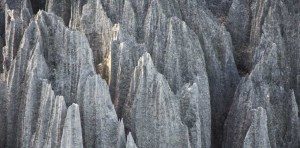
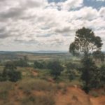
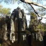
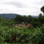
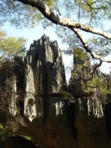
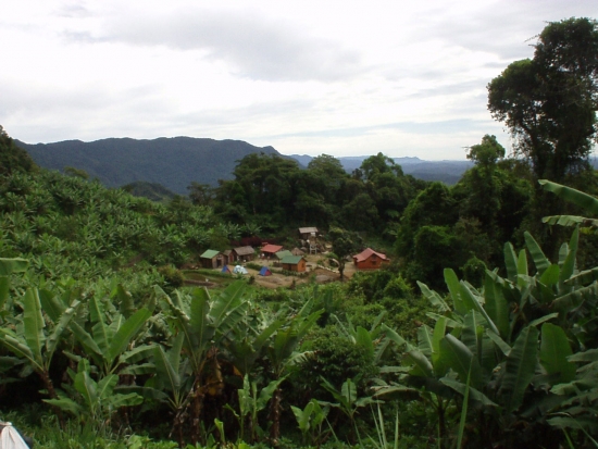
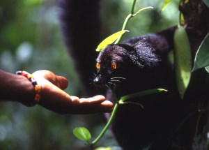
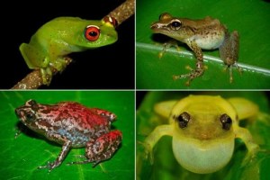
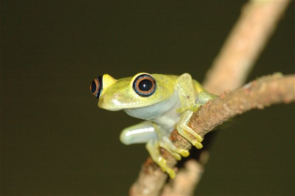
The "Tsingys" are a so-called Karst landscape. Geologically, this is the name given to areas that have both above-ground and underground structures. The nature reserve consists of needle-shaped rock formations that rise majestically several hundred meters into the air. The plateaus are partly wooded, but very dry. However, since the precipitation rate here is about 1000mm per year, the canyons of the Tsingys are very humid, so that in the lower areas. Lakes and mangroves have formed. Wind and rain here in the west of the island have a particularly rough terrain created, which makes settlement impossible. Only on the edge of the reserve there are some villages. The terrain is extremely rich in gorges, caves and rivers, so that it could hardly be explored until today. Even the locals avoid large parts of the Tsingys, which due to their bizarre shapes are associated with numerous myths and legends are occupied. The northern part of the area is an over 85,000 hectare integral reserve. Thus, tourists are not allowed to enter this area. It is characterized mainly by rolling hills of limestone, unlike other parts of the Tsingys. In the gorges, lakes and mangrove swamps of the untouched integral reserve are 85% the Flora and Fauna endemic. 47% are not even found in other areas of Madagascar.

